Storm Chase Details
Miles Logged: 171
States Chased: OK
Severe Risks: SPC Outlooks
Severe Reports: Storm Reports
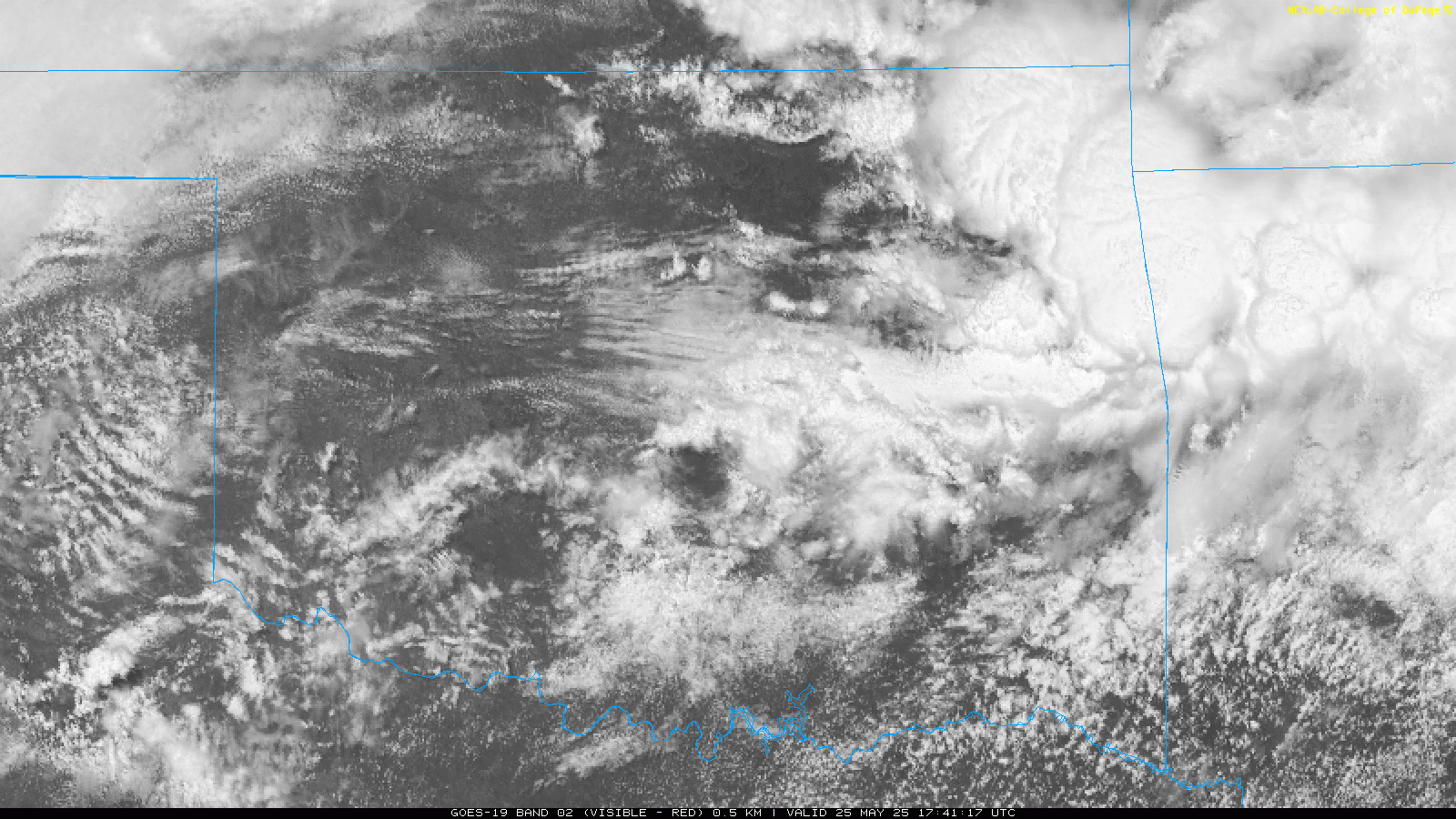
An enhanced risk/5% tornado day across southern Oklahoma and North Texas with a sagging boundary. A storm was blowing up along I-35 near Wynnewood/Davis. This supercell looked good on radar.
Departing Norman
I hopped in with Chance and we headed southbound on I-35. We had to get through the construction traffic before we could get south of metro, getting beyond by about 2pm.

The storm was clearly visible to our south as we headed down I-35 towards the storm, eventually exiting at the Davis/SH-7 exit. The underside of the storm was cold and outflowy as we headed east towards Sulphur.

We didn’t spend a ton of time with the storm, and headed north and then west to Wynnewood. We’d encounter this storm before heading to I-35.

Ended up near Pauls Valley where we found the source of tornadoes. No tornadoes being grown so we got back on I-35 and headed back to Norman.

Returning home to hail Norman
After returning home, it began to hail. The biggest hail I observed was smaller than golf ball. Most of this was around 1″ in diameter.


